No Results Found
The page you requested could not be found. Try refining your search, or use the navigation above to locate the post.
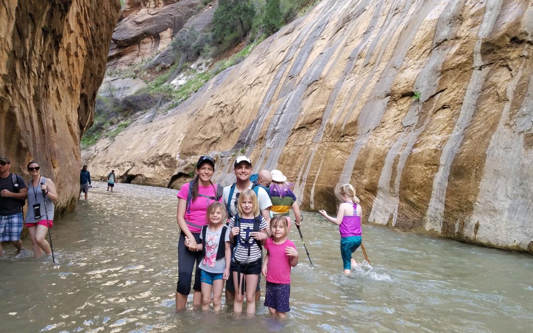
Hiking the Narrows with kids may seem intimidating but it is an amazing adventure that can be tailored to fit almost any family and skill level. The Narrows in Zion National Park, Utah is world famous for its river scenery between tall red rock walls. It is a must-see when visiting southern Utah and Zions National Park. And yes, The Narrows are just as amazing as the pictures you see on Instagram.
Fun: ⭐⭐⭐⭐⭐ (out of 5)
Difficulty: Very Easy Easy Moderate Hard Very Hard (Ranges from Easy to Very Hard depending on how far you hike)
Distance: 2 to 10 miles, out-and-back
Elevation Gain: Flat to 300 ft
Terrain: Water hiking, paved trail for first mile, rocks, shade,
Time Needed: 1 hour to all day, depending on how far you hike
When to Go: Late spring, summer, early fall
$35 for seven day Zion National Park Pass. Check current entrance fee on Zion National Park page.
Free if you have a 4th grader: Get your Every Kid Outdoors Pass.
Bathrooms and water available at trailhead
Restaurants at base of the park in Springdale, Utah
Camping within the park near the Narrows at South and Watchman Campground
Hotels, Airbnb’s and bed & breakfasts in Springdale and
Note on Lodging and Campgrounds: Campgrounds and hotels fill quickly around Zion National Park. I recommend booking your stay 6 months in advance. Other cities where lodging is available within one hour of Zion National Park: Hurricane, LaVerkin, Toquerville, St. George, Washington, Orderville, Glendale and Kanab.
Sturdy shoes that can get wet
Clothing that can get wet
Snacks and/or lunch
Water
Our hike with kids in The Narrows at Zion National Park was an unplanned adventure. I say this only to build your confidence that hiking The Narrows with kids can be done. If we did this unplanned, you can certainly hike The Narrows with your kids with a little planning.
Earlier in the day we had checked out the visitor’s center, hiked the Archeology Trail and gone to the museum. We decided to take the shuttle to the Temple of Sinawava which is the trailhead of the Narrows just to see what it looked like. A portion of the narrows can be viewed along a one mile paved trail via the Riverside Walk or you can venture further in by getting a little (or a lot) wet in the Virgin River.
The two mile round trip Riverside Walk is paved, ADA accessible and has educational signs alongside the trail. It provides beautiful views of the Virgin River and surrounding red rock walls. The Riverside Walk alone is worth it. We were in immediate awe when we first arrived, so we decided to walk along the Riverside Walk to continue enjoying the scenery.
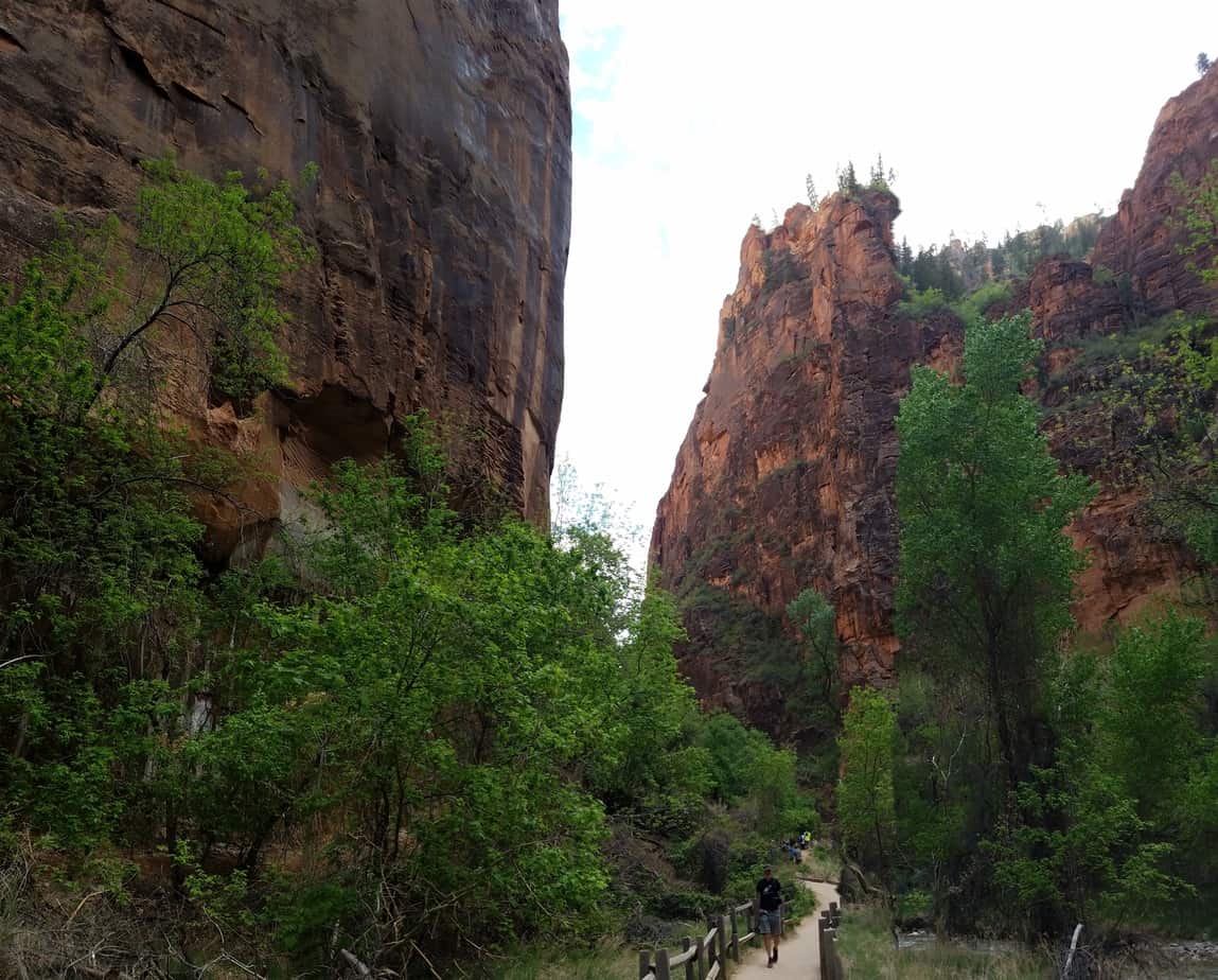
As we came to the Virgin River at the end of the Riverside Walk, we considered our options–turn around and go back to our campsite or check out one of the most famous hikes in the world–we opted for the second choice.
So, yes with a 9, 8, 5 and 9 month old we hiked The Narrows in our tennis shoes and a few snacks. The kids loved walking in the clear river. It re-energized our tired legs.
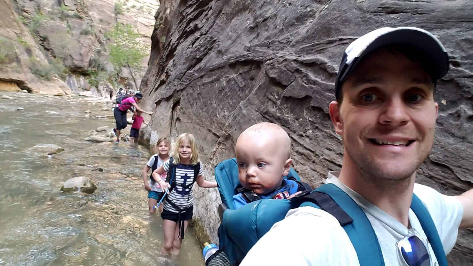
I recommend hiking the narrows in sturdy water shoes or hiking shoes/tennis shoes that you can get wet. We all just hiked in our tennis shoes that we were already in from hiking earlier. Some people rent gear like water proof socks/and or shoes and walking sticks, but I do not think it is necessary to make this a good family hike. Those supplies might be more beneficial if making this a long all day hike. Like I said before this was a total unplanned hike for us and we did not have any difficulty.
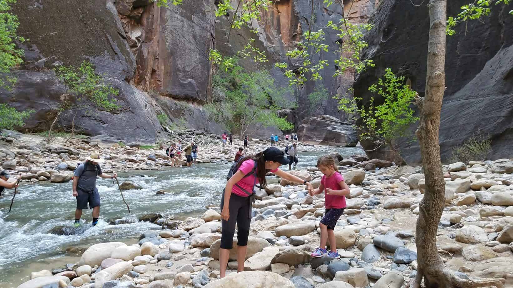
Our 9 month old was in a baby hiking carrier and I held my 5 year old’s hand. The older two kids did well hiking without assistance. The water wasn’t flowing fast so I wasn’t ever worried about anyone getting washed away in the river. Most of the time the water was just high enough for wading. There were some deeper pockets here and there but the water never got past my lower thigh. Water speed and depth will vary season to season and year to year.
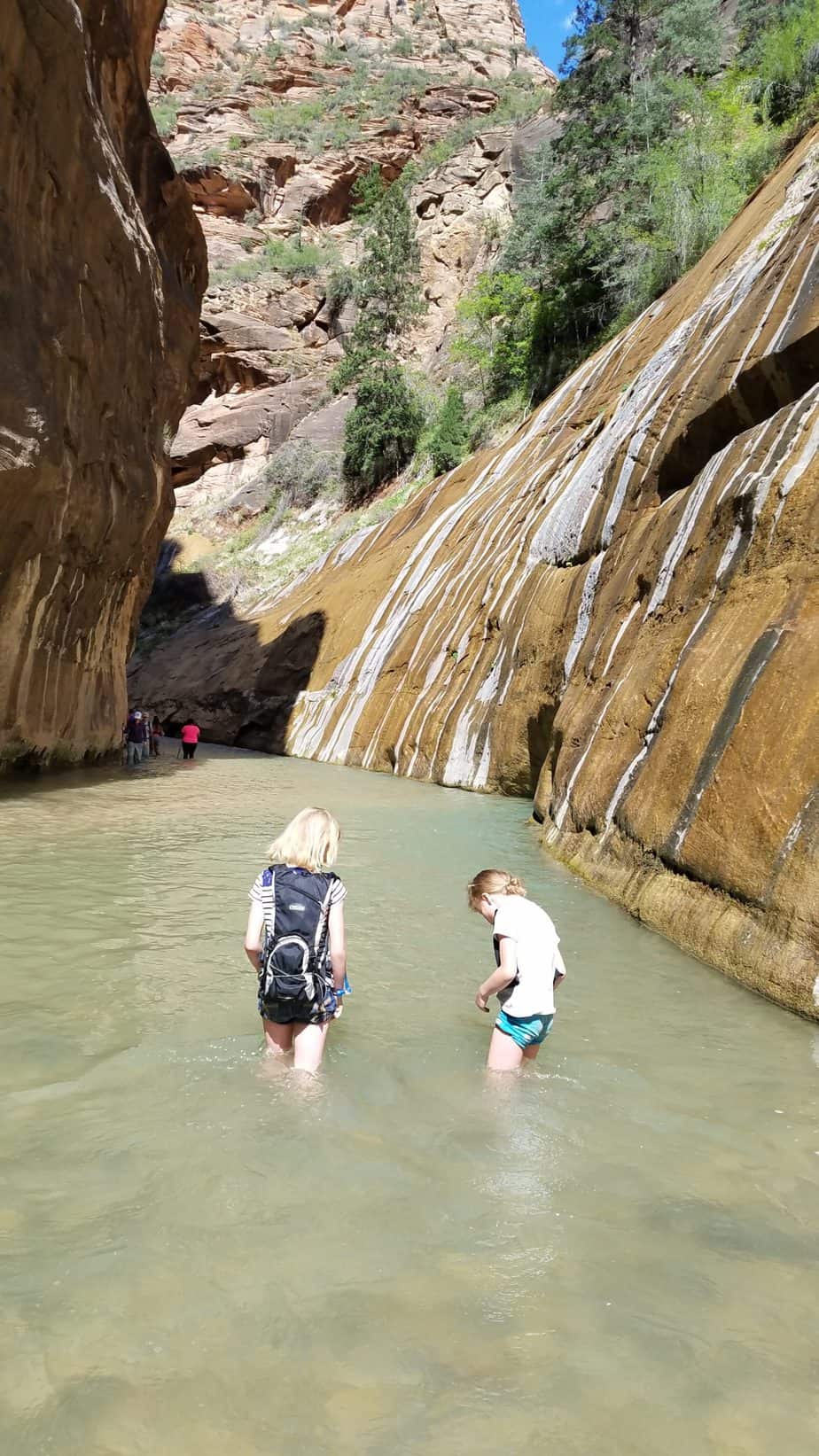
The hike up the river takes a lot longer than the hike downward because you are going against the current. We hiked a lot along the rock walls because it provided a little stability for us. Some people were hiking with walking sticks due to all the uneven surfaces in the water.
Zion National Park will shut down the narrows if the river is too high or fast or if there is a flash flood warning. However, if you ever feel uncomfortable with the water level or speed of the river you can always turn around. There are areas along the way to get out of the river to rest and dry off a bit. You can check the current conditions of the Virgin River.
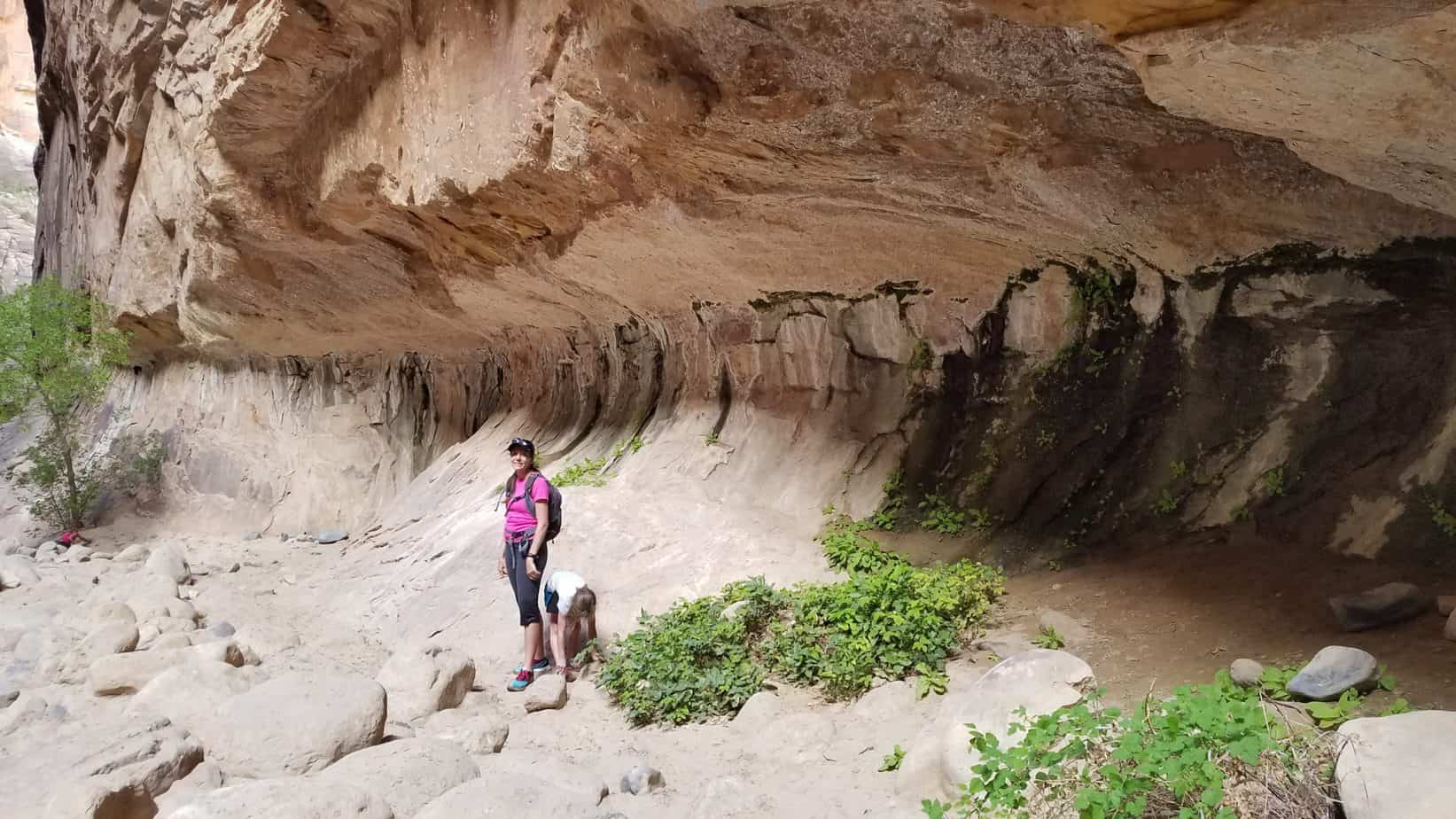
We walked in the Virgin River for just over a mile before turning around making our round trip between 4 and 5 miles. You can hike up the Narrows starting from the Temple of Sinawava for up you nearly 5 miles (10 miles round-trip) until you hit Big Springs. To hike past Big Springs, you will need to obtain a permit months in advance.
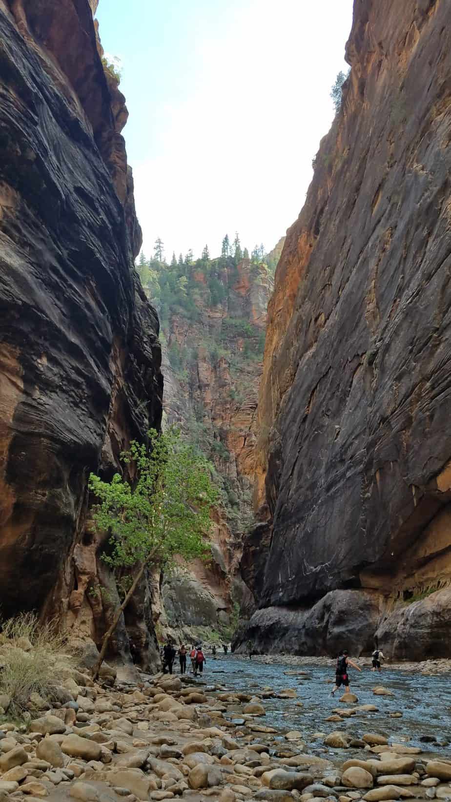
No. You do not need a permit to hike up to 10 miles from the bottom trailhead at the Temple of Sinawava to Big Springs. This is plenty of miles for kids. If you would like to hike past Big Springs or take the 16 mile hike from the top down, you do need a permit. My guess is that most families with kids won’t need a permit.
No. You do not have to have specialized equipment to hike The Narrows. However, it can be helpful if you are hiking several miles up The Narrows. We did not hike with any specialized equipment because it was an unplanned hike for us.
When we hike The Narrows again, we will bring our waterproof backpack and waterproof phone case. We won’t get the specialized equipment from the local outfitter companies.
Waterproof socks, shoes, and walking sticks can be rented from several places in Springdale. Here are a few.
Most likely yes. Between mid February and late November, you will need to ride the shuttle from the visitors center to reach Temple of Sinawava, which is the starting point for The Narrows hike. I don’t recommend hiking The Narrows with kids in the winter time due to cold temperatures.
You may also need to ride the Springdale shuttle just to get to the Visitor’s Center depending on where you are able to find a parking lot.
On weekends and holidays and other peak times there can be long shuttle waits (sometimes a couple hours). Plan accordingly. Avoid trying to catch the shuttle from the Visitor’s Center between 8am and noon. Get up early or hike in the afternoon.
Check out the National Park Service Shuttle page for shuttle schedules.
Sometimes yes. Zion National Park monitors Cyanobacteria in the Virgin river and other streams within the park. Even if there is a Cyanobacteria bloom during your visit, most of the time it is only toxic if ingested. Check the National Park Service Current Conditions site to see if if this is an issue before you visit.
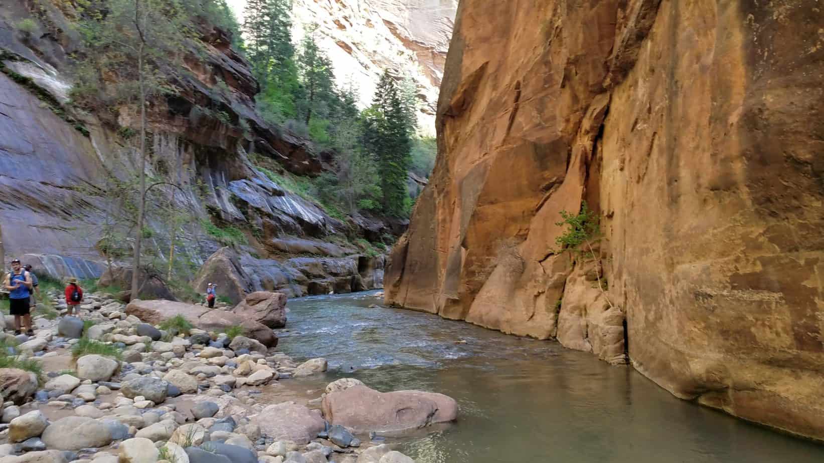
PROS
World famous scenery
Cool in the summer months because of the shade and water
Can adjust to your family’s wants – short or long
CONS
Rocks can get slippery, easy to fall into the water
Not recommended in winter with kids because of the cool water temperatures
Zion National Park is located in southeastern Utah. The Narrows hike begins 8 miles from the park entrance along Zion Canyon Scenic Dr. During the spring, summer and fall you will need to take the park shuttle at the base of Zion National Park to access the Narrows.
During the winter months you can drive right to the trailhead in your own vehicle, however I do not recommend getting in the water at this time of year with kids due to the temperature of the water. During winter-time stay on the paved Riverwalk Trail.
Zion National Park official site
The Narrows official page by ZNP
Fresh of the Grid: How to Hike the Narrows with Gear you Already Own
Other hikes within Zion National Park (minutes away)
Sand Hollow State Park (1 hour)
Coral Pink Sand Dunes State Park (1 hour 10 min)
Snow Canyon State Park (1 hour 20 min)
Bryce Canyon National Park (1 hour 20 min)
North Rim of the Grand Canyon (2 hour 20 min)

Hi, I’m Corrine! I’m an outdoor enthusiast and mother of four.
My goal is to inspire you to get outside and create your own amazing memories as a family. Life is precious and there are too many adventures to be had to spend life on the couch or in front of a screen.
The page you requested could not be found. Try refining your search, or use the navigation above to locate the post.
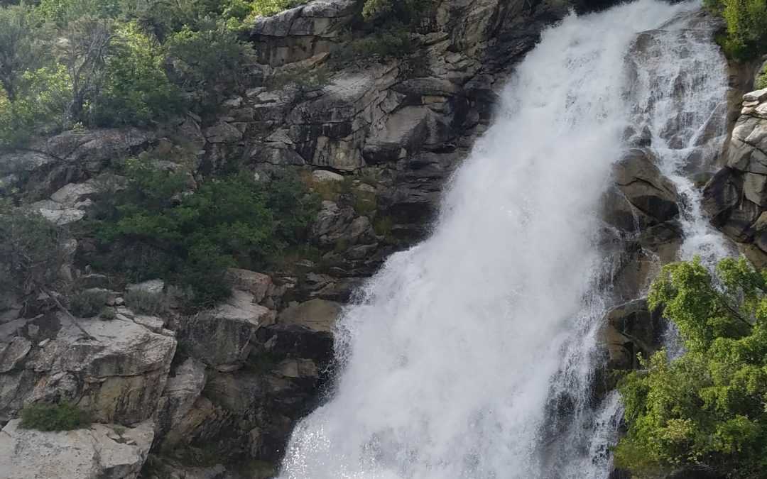
The Horsetail Falls hike takes you to a majestic waterfall with beautiful views of the Alpine and Highland areas below. This steep hike through beautiful scenery of the Lone Peak Wilderness and Uintah National Forest to a waterfall that is well worth the work. This is great hike for families and kids experienced in hiking.
Fun: ⭐⭐⭐ (out of 5)
Difficulty: Very Easy Easy Moderate HARD Very Hard
Hiking Distance: 4 miles round trip
Hiking Elevation Gain: 1600 ft
Terrain: Dirt, large and small rocks, small stream crossings, water on trail during certain times of the year. Trail is mostly shaded.
Time Needed: 2.5 to 4 hours
When to Go: Spring, Summer (morning or evening), Fall
Free
There are no bathrooms or water at the trail head. The nearest services are in downtown Alpine, about 10 minutes from the trail head.
Horsetail Falls hike ascends through mountain terrain and streams to a gorgeous waterfall and views of the valley bellow. This hike is not for small children not in packs or unexperienced older kids.
The elevation change to the waterfall is 1600 feet, which is why I rate this hike as “Hard” for kids. We hiked this with two 10-year-olds, a 9-year-old, and 6-year-old, as well as a 2 year old in a hiking carrier. The 6-year-old did a good amount of complaining, but kept going with some treat bribery, haha. The 9 and 10-year-olds did very well, and of course the 2-year-old loved life in the hiking carrier.
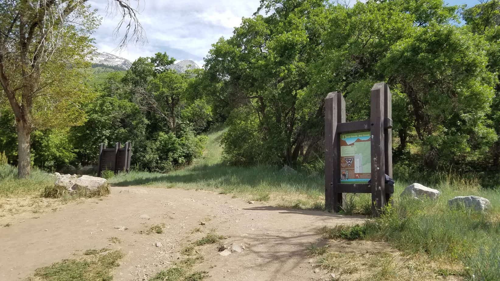
The trail follows the Dry Creek Canyon just east of Alpine, Utah. The trailhead is located at the end of Grove Drive in Alpine, Utah where there is large dirt parking lot that can fit at least 20 vehicles.
If the parking lot is crowded there is also street parking available. The trail begins on the north east corner of the parking lot with a map of the Dry Creek area.
The trail is well shaded for the majority of the hike except for the first and last quarter mile. We did the hike in June in the late afternoon.
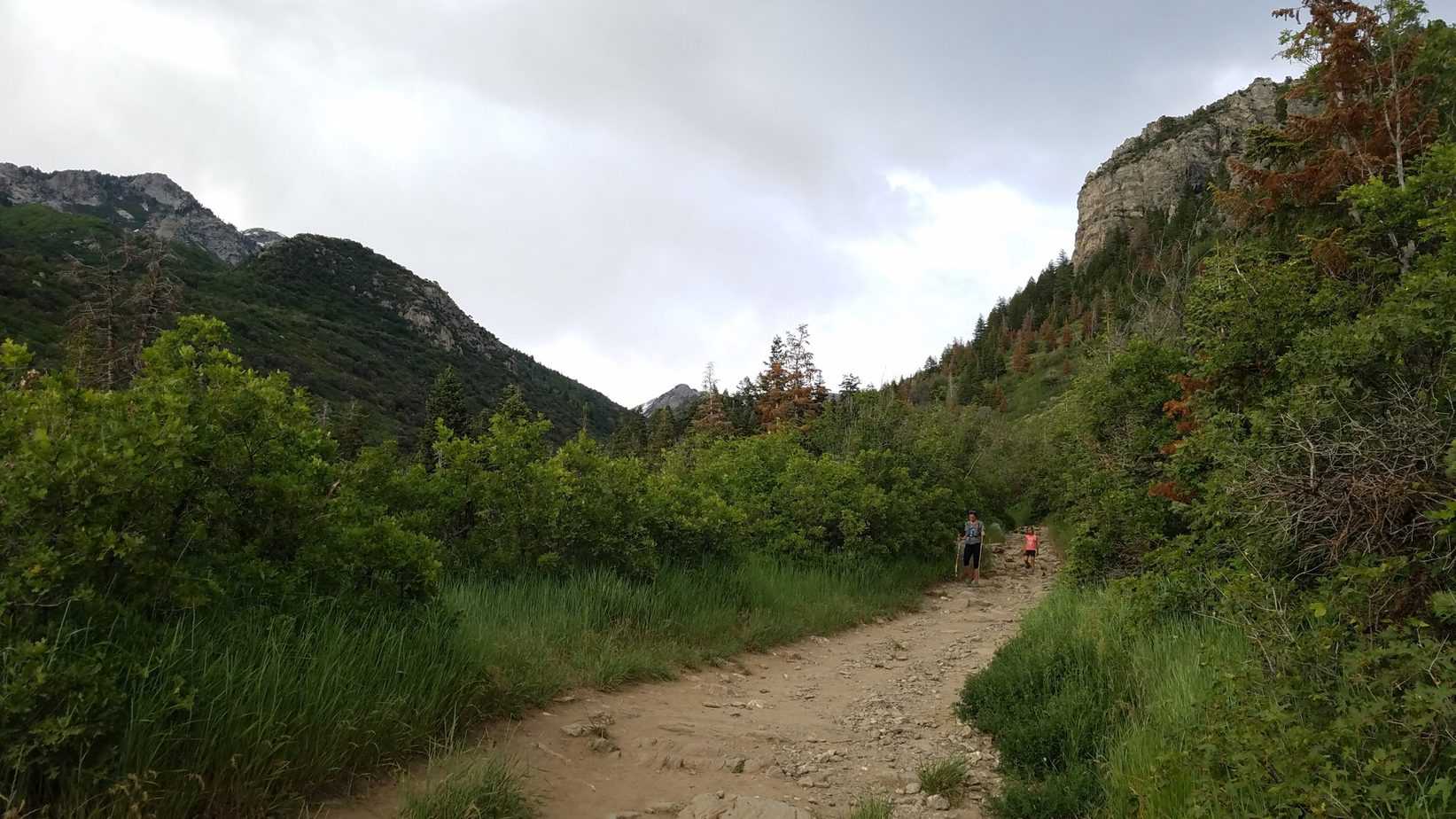
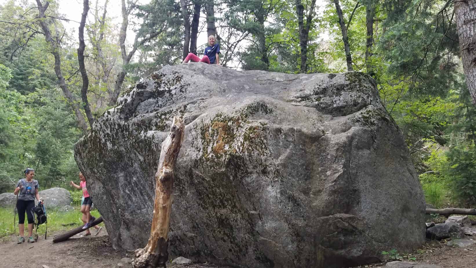
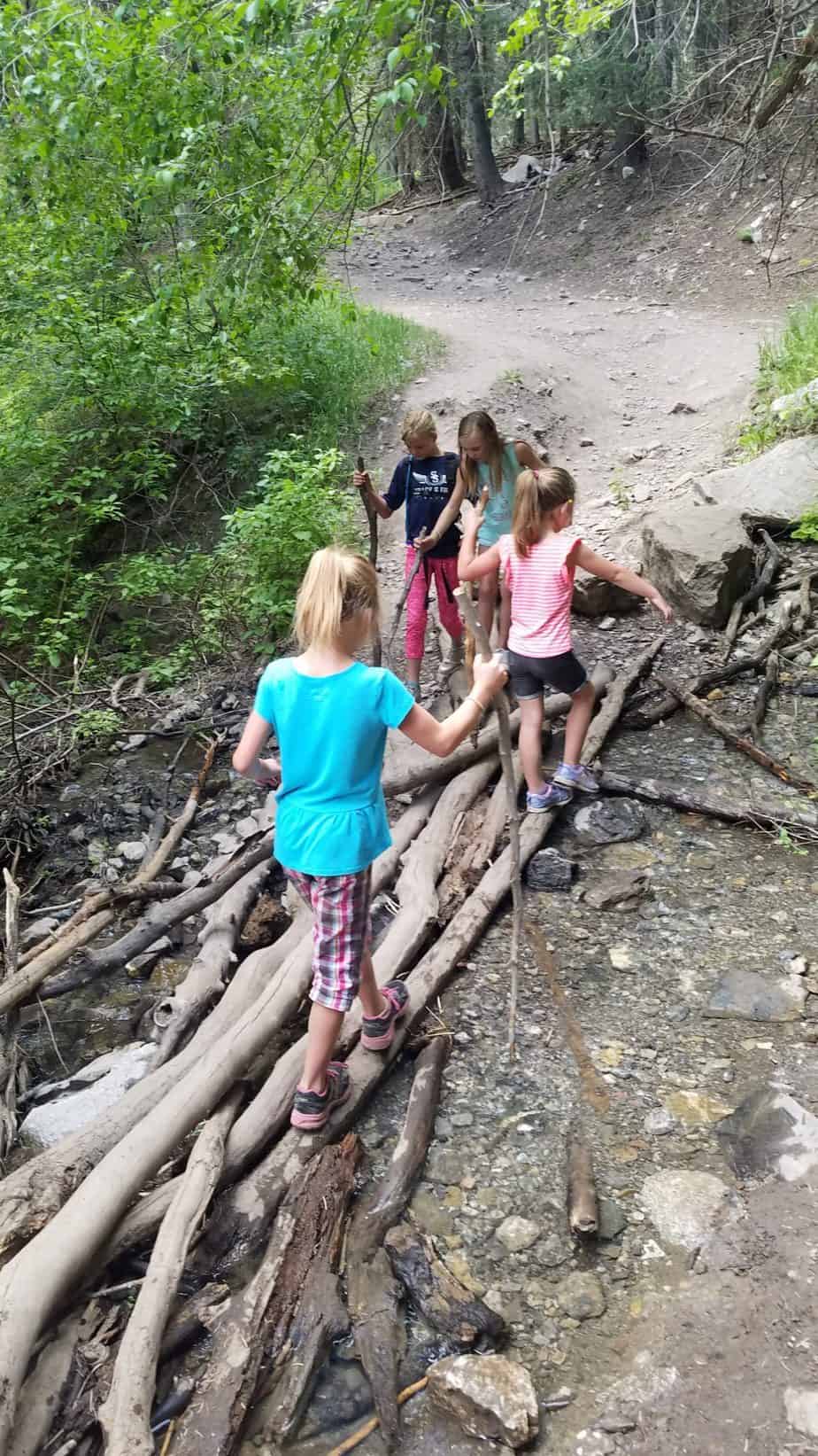
The terrain is very rocky with big and small rocks. There are a couple of small stream crossings which have logs and rocks placed so you don’t have to get wet if you don’t want to.
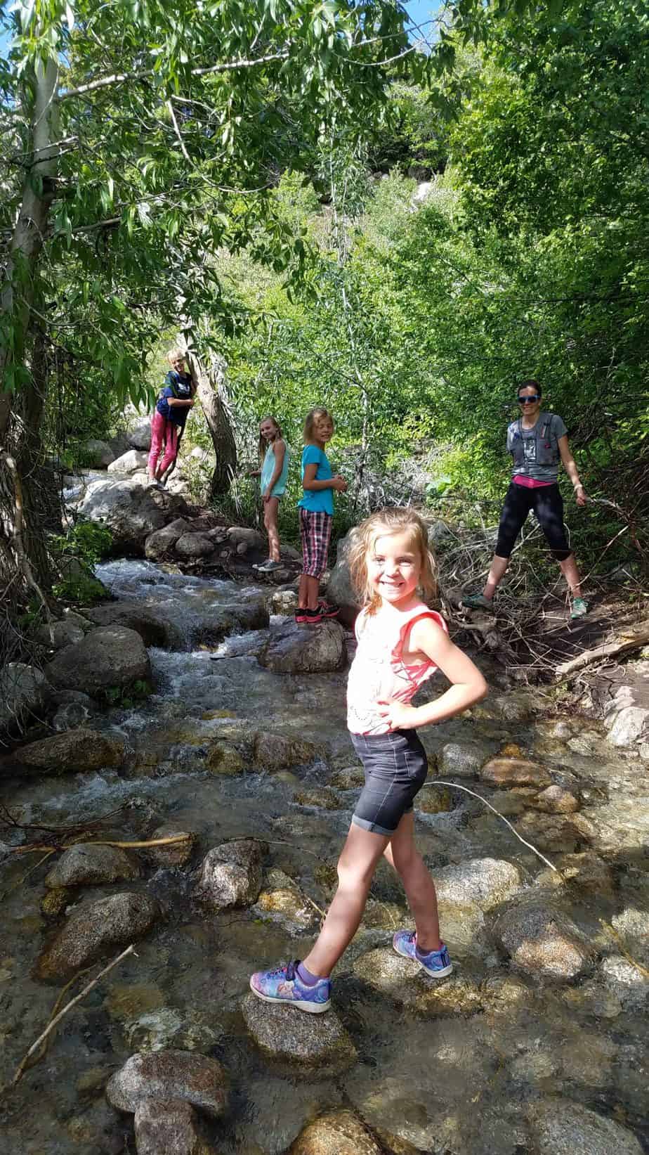
Dry Creek Canyon is for the majority of the time dry. However, due to the amount of spring rain when we did this hike, there was more than just a couple stream crossings.
There was actually water coming down on the trail for the last half mile on the way to the waterfall, making the trail a small stream. This is just what my kids needed to help them through the last bit of upward hiking. The kids loved walking through the water and getting wet.
One stream crossing was surprisingly stronger than it looked. So, as always, watch the kids and help them across these areas.
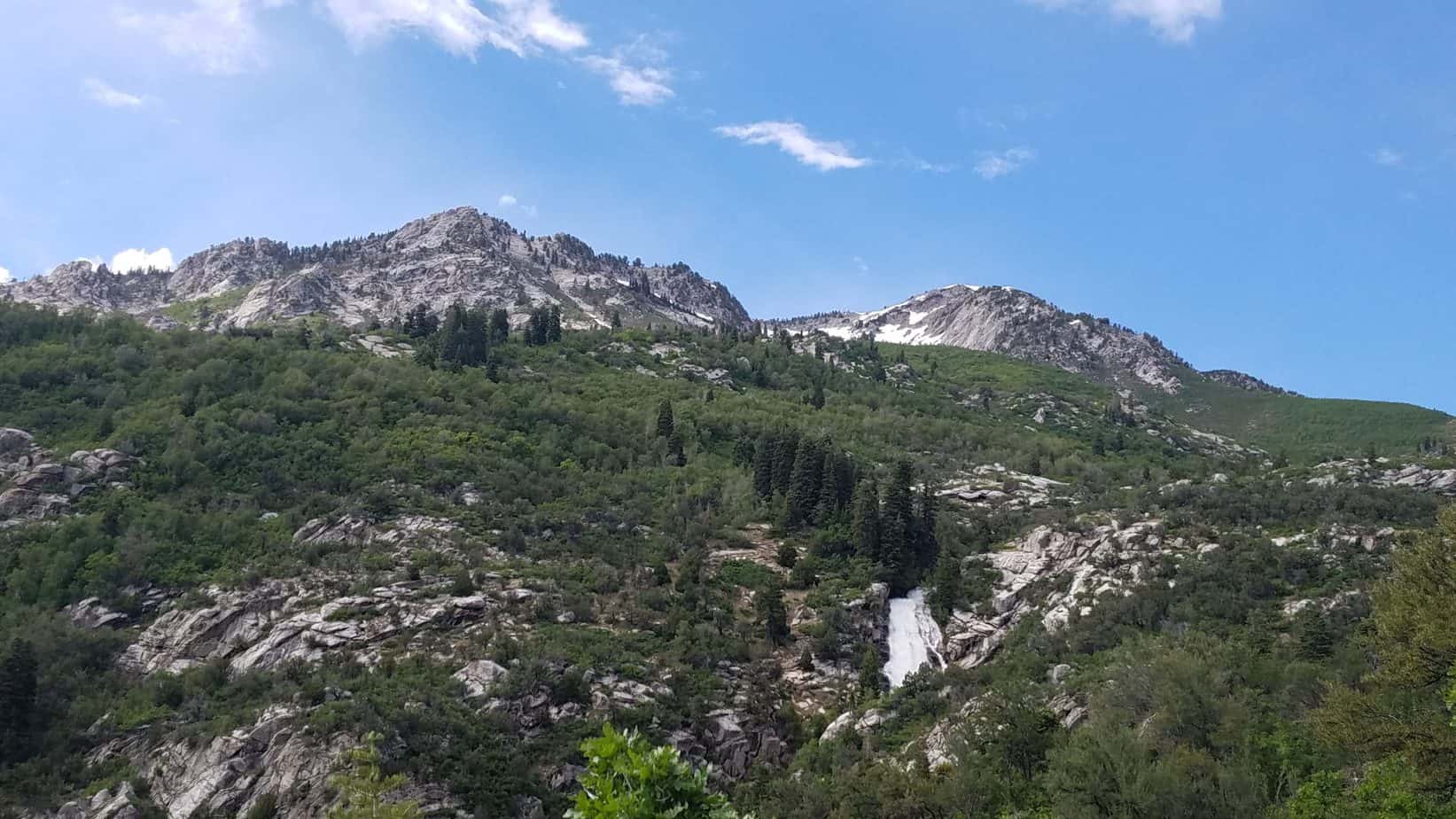
If you would like to get a close up view of the falls, I suggest continuing upward to a sign on the ground with an arrow pointing north that says horsetail falls.
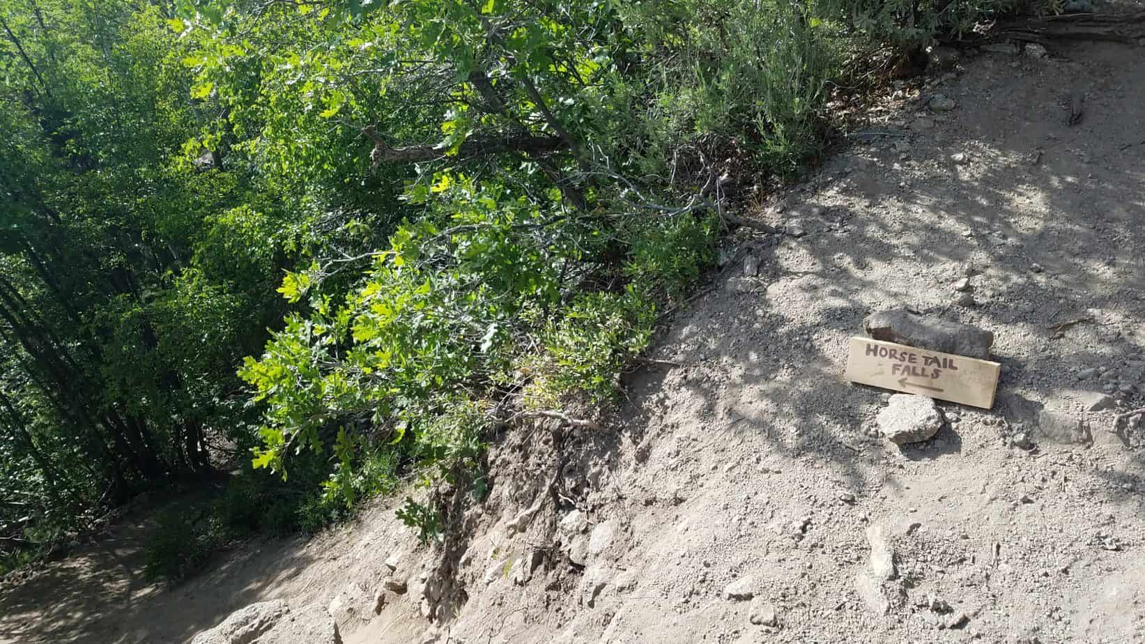
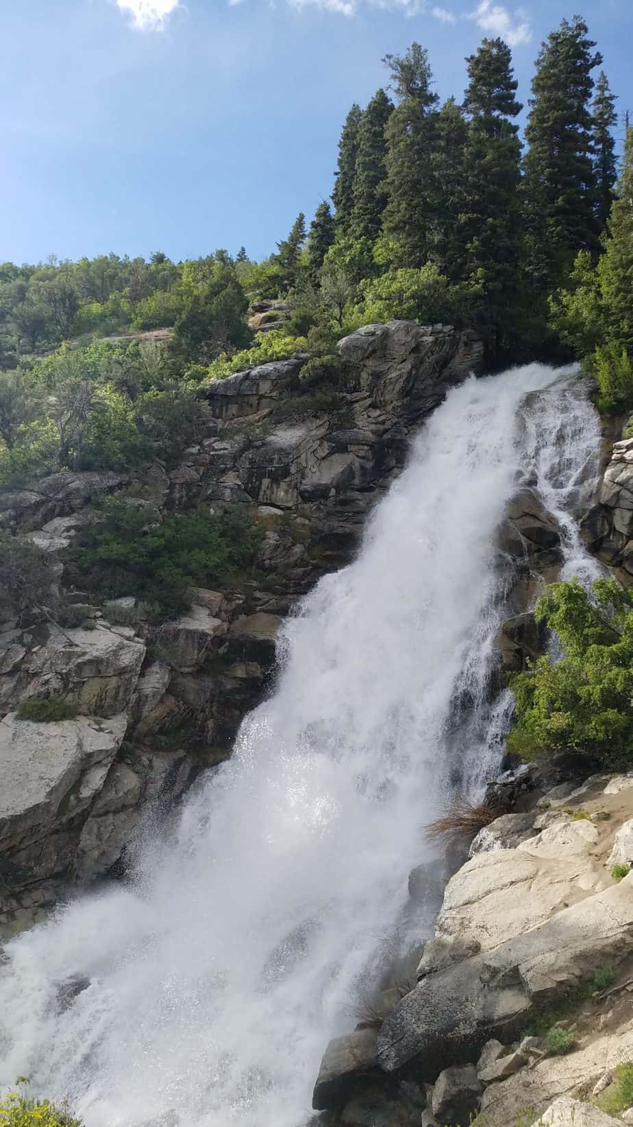
The waterfall comes up fairly quickly after turning off the main trail and is pretty awesome to see. The area near the waterfall is steep, so be cautious of your little ones getting there before you. You will likely be able to feel the mist of the falls as you get closer. Due to the heavy spring rain and runoff the waterfall was a lot bigger for us than I have seen in other pictures.
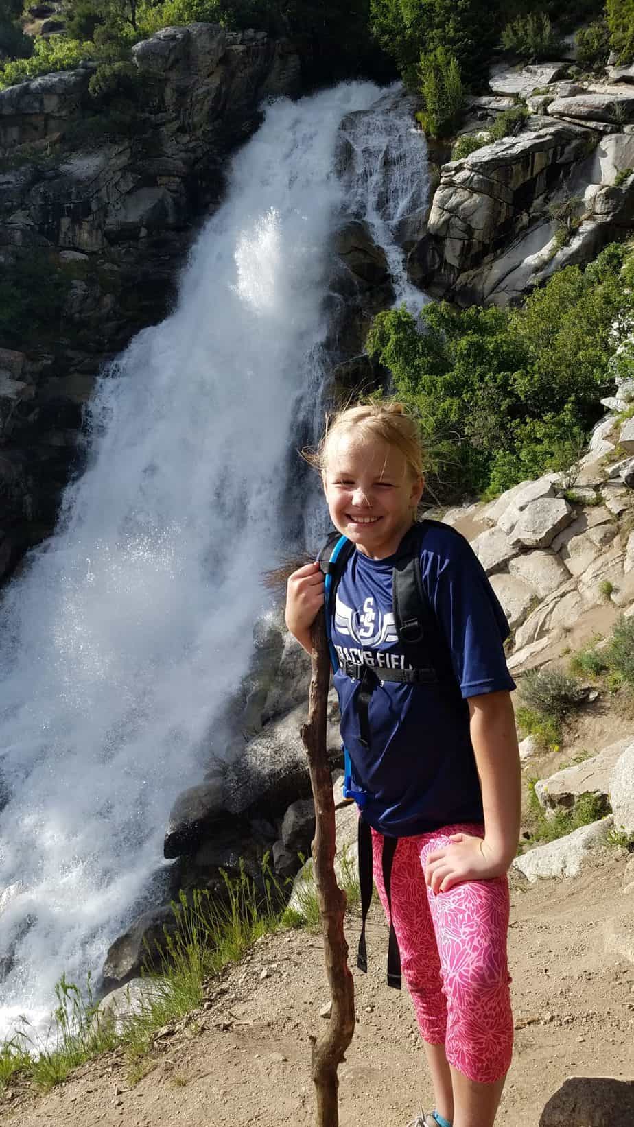
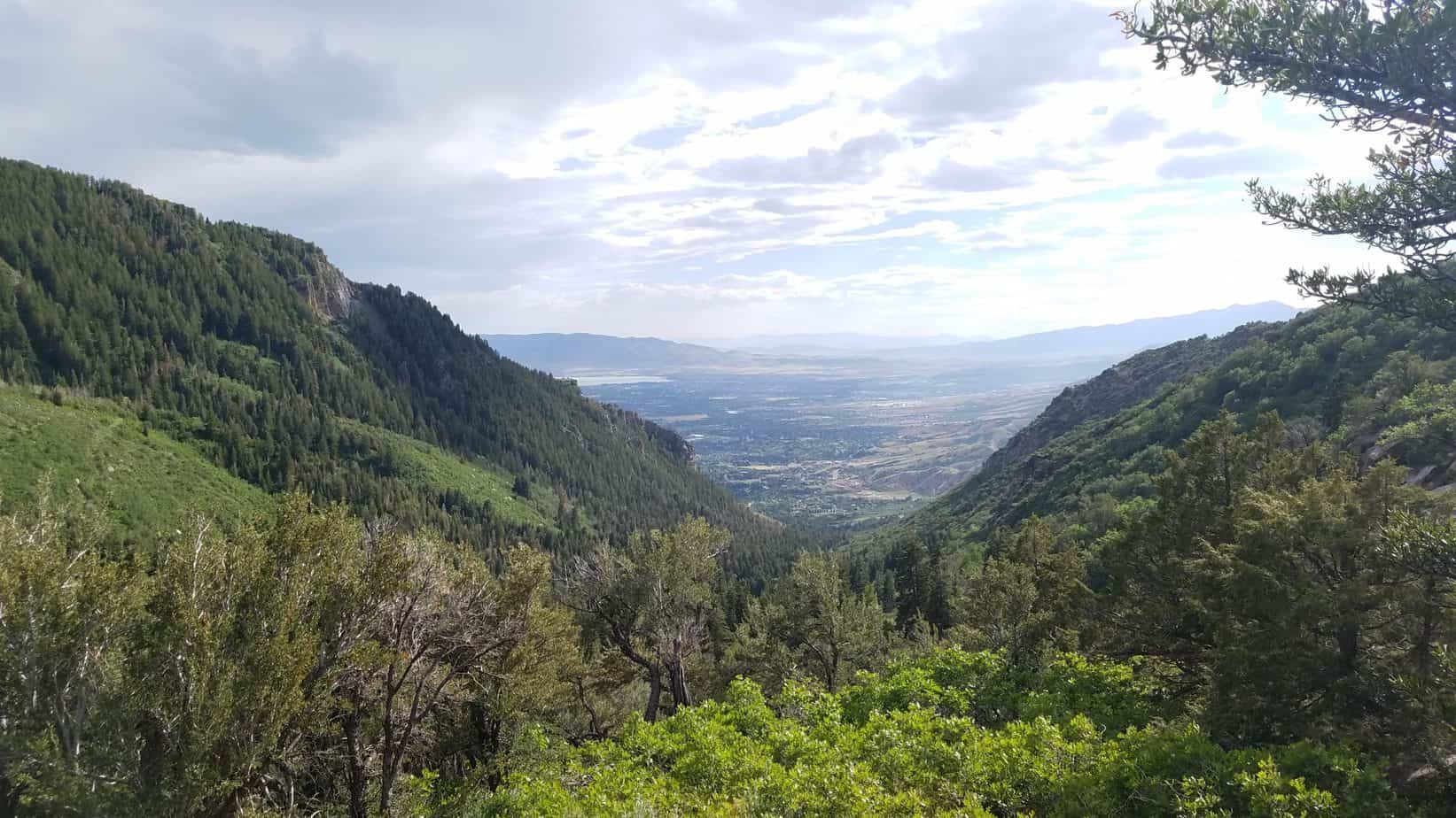
Overall, the hike was not too difficult for our family. However, we are a hiking family. I would not recommend this hike to a family new to hiking. Try a few shorter easier hikes first.
PROS
CONS
The trailhead is located at the end of Grove Drive in Alpine, Utah. To get to the Horsetail Falls trailhead put Deer Creek/Dry Creek/North Mountain Trail into your maps app. You can also use the search, Horsetail Falls Trail via Dry creek. This will lead you to a dirt parking lot at the end of Grove Drive in Alpine. You can also follow my map below.
Easier hikes in the area to try before Horsetail Falls:
Rocky Mouth Waterfall (45 minutes)
Alien Tower (30 minutes)
Draper Suspension Bridge (40 minutes)

Hi, I’m Corrine! I’m an outdoor enthusiast and mother of four.
My goal is to inspire you to get outside and create your own amazing memories as a family. Life is precious and there are too many adventures to be had to spend life on the couch or in front of a screen.