Horsetail Falls Hike with Kids: Alpine, Utah

Horsetail Falls Hike with Kids: Alpine, Utah

Horsetail Falls Hike with Kids: Alpine, Utah

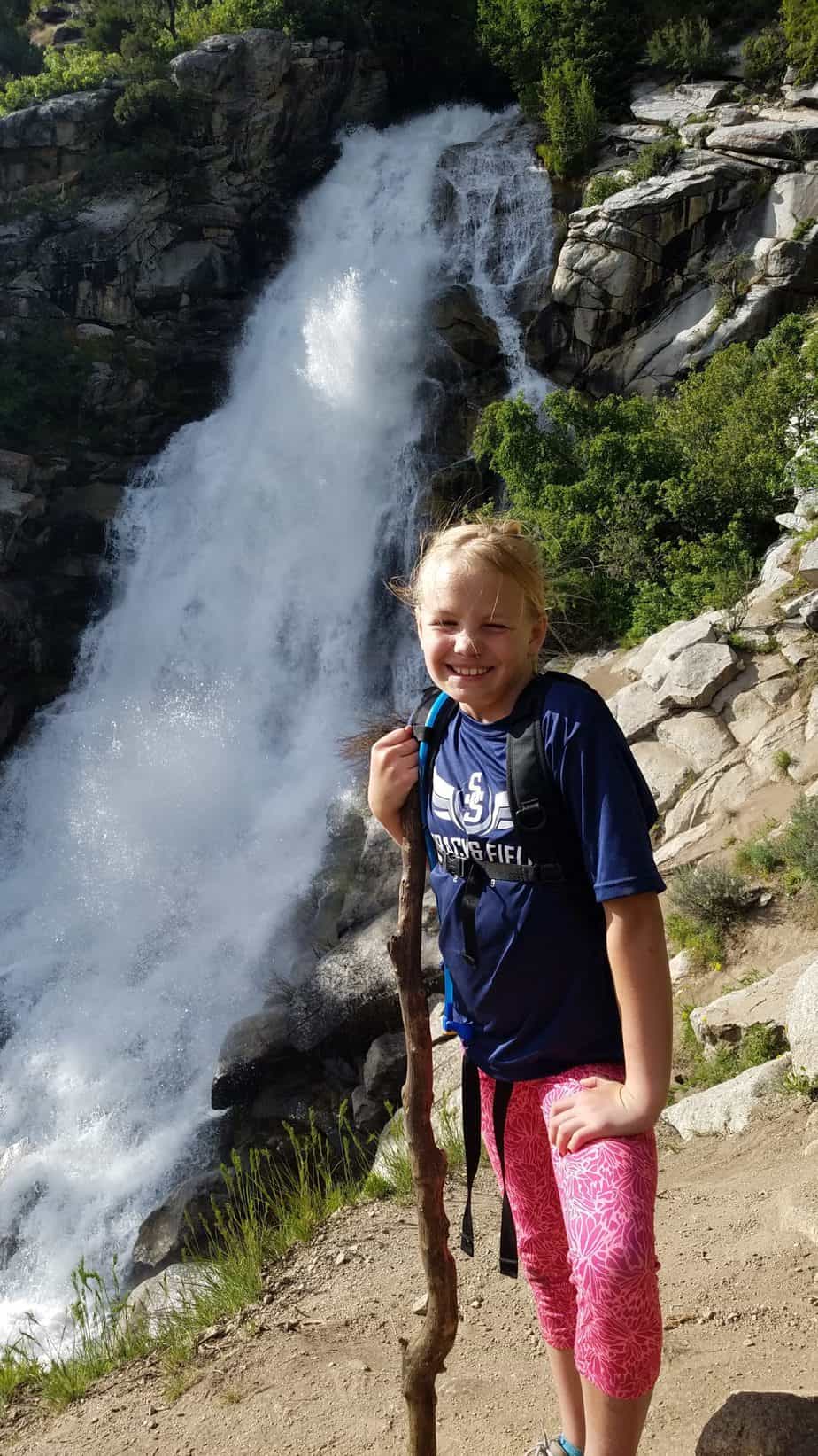
The Horsetail Falls hike takes you to a majestic waterfall with beautiful views of the Alpine and Highland areas below. This steep hike through beautiful scenery of the Lone Peak Wilderness and Uintah National Forest to a waterfall that is well worth the work. This is great hike for families and kids experienced in hiking.

KID RATINGS

Fun: ⭐⭐⭐ (out of 5)
Difficulty:     Very Easy    Easy    Moderate    HARD    Very Hard

KEY FEATURES

Hiking Distance: 4 miles round trip
Hiking Elevation Gain: 1600 ft
Terrain: Dirt, large and small rocks, small stream crossings, water on trail during certain times of the year. Trail is mostly shaded.
Time Needed: 2.5 to 4 hours
When to Go: Spring, Summer (morning or evening), Fall 

COST

Free

AMENITIES

There are no bathrooms or water at the trail head. The nearest services are in downtown Alpine, about 10 minutes from the trail head.

THINGS TO BRING

  • Sunscreen
  • Water
  • Snacks
  • Hiking shoes
  • Dogs allowed

DETAILS

Horsetail Falls hike ascends through mountain terrain and streams to a gorgeous waterfall and views of the valley bellow. This hike is not for small children not in packs or unexperienced older kids. 

The elevation change to the waterfall is 1600 feet, which is why I rate this hike as “Hard” for kids. We hiked this with two 10-year-olds, a 9-year-old, and 6-year-old, as well as a 2 year old in a hiking carrier. The 6-year-old did a good amount of complaining, but kept going with some treat bribery, haha. The 9 and 10-year-olds did very well, and of course the 2-year-old loved life in the hiking carrier.

Trailhead

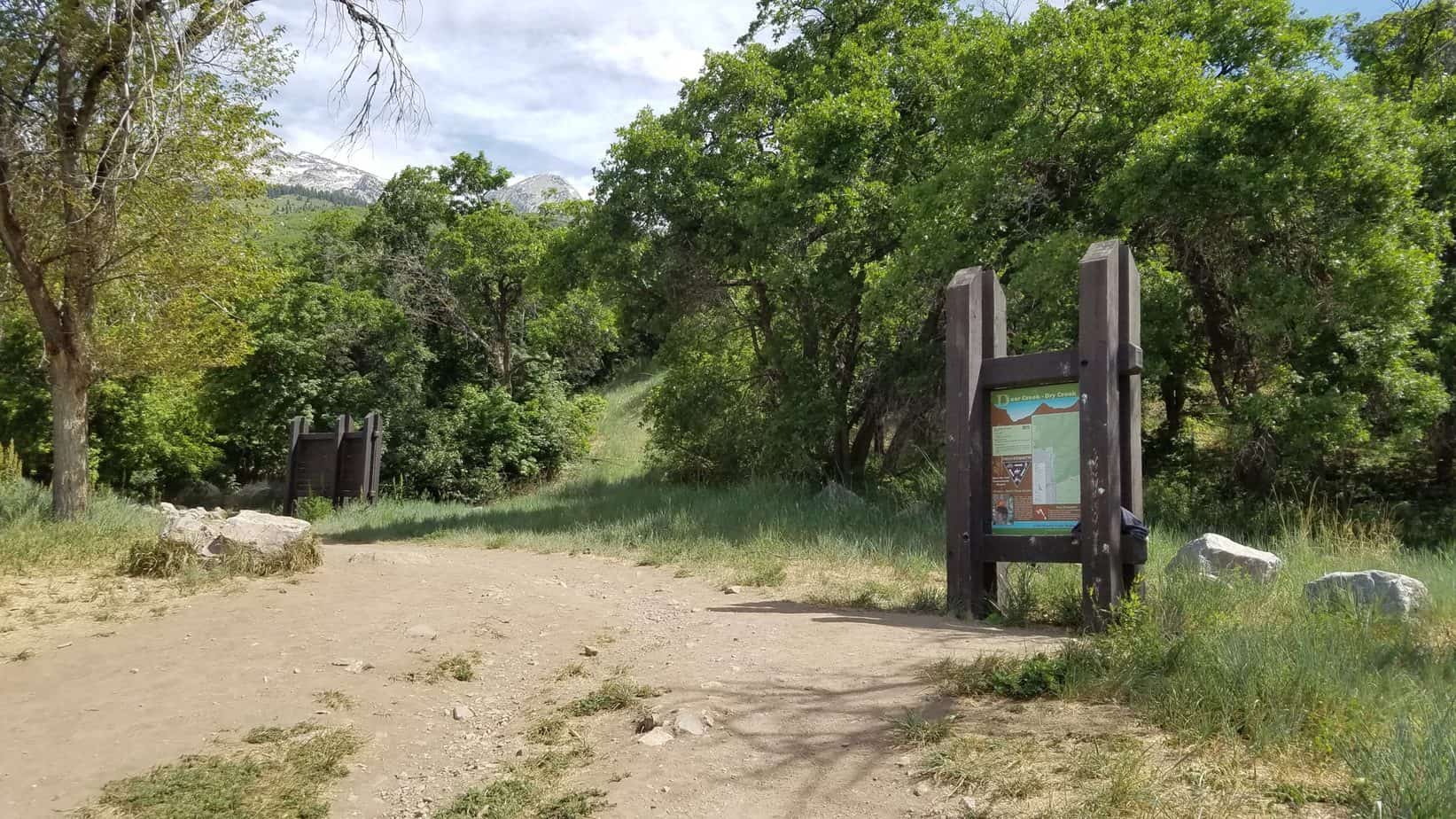
The trail follows the Dry Creek Canyon just east of Alpine, Utah. The trailhead is located at the end of Grove Drive in Alpine, Utah where there is large dirt parking lot that can fit at least 20 vehicles.

If the parking lot is crowded there is also street parking available. The trail begins on the north east corner of the parking lot with a map of the Dry Creek area.

The Trail

The trail is well shaded for the majority of the hike except for the first and last quarter mile. We did the hike in June in the late afternoon.

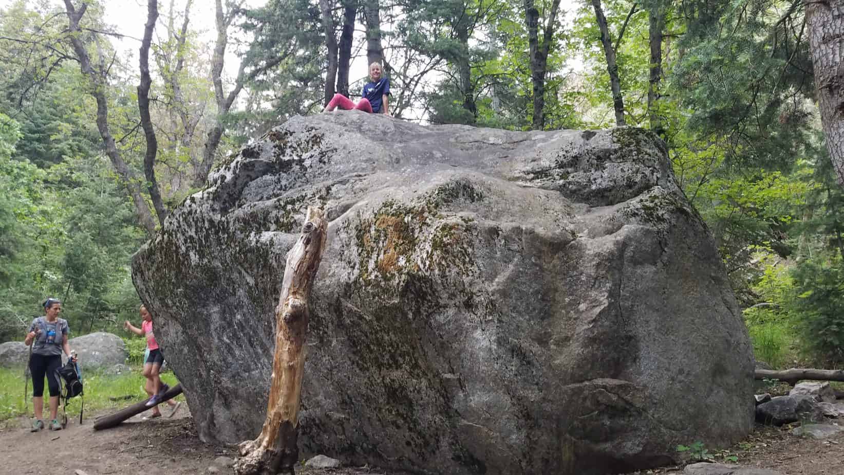
There is a huge boulder to the south side of the trail that my girls had a fun time climbing. We always take advantage of fun things along the way. It breaks the hike up for the kids and makes it more fun for them.
There is also a small clearing on the way up that has a fork in the road. You can take either route. The two routes meet up with each other in a short time.

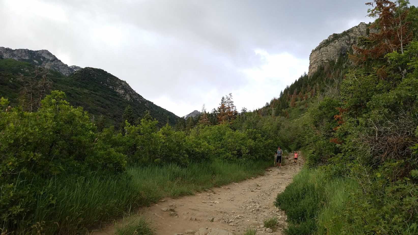
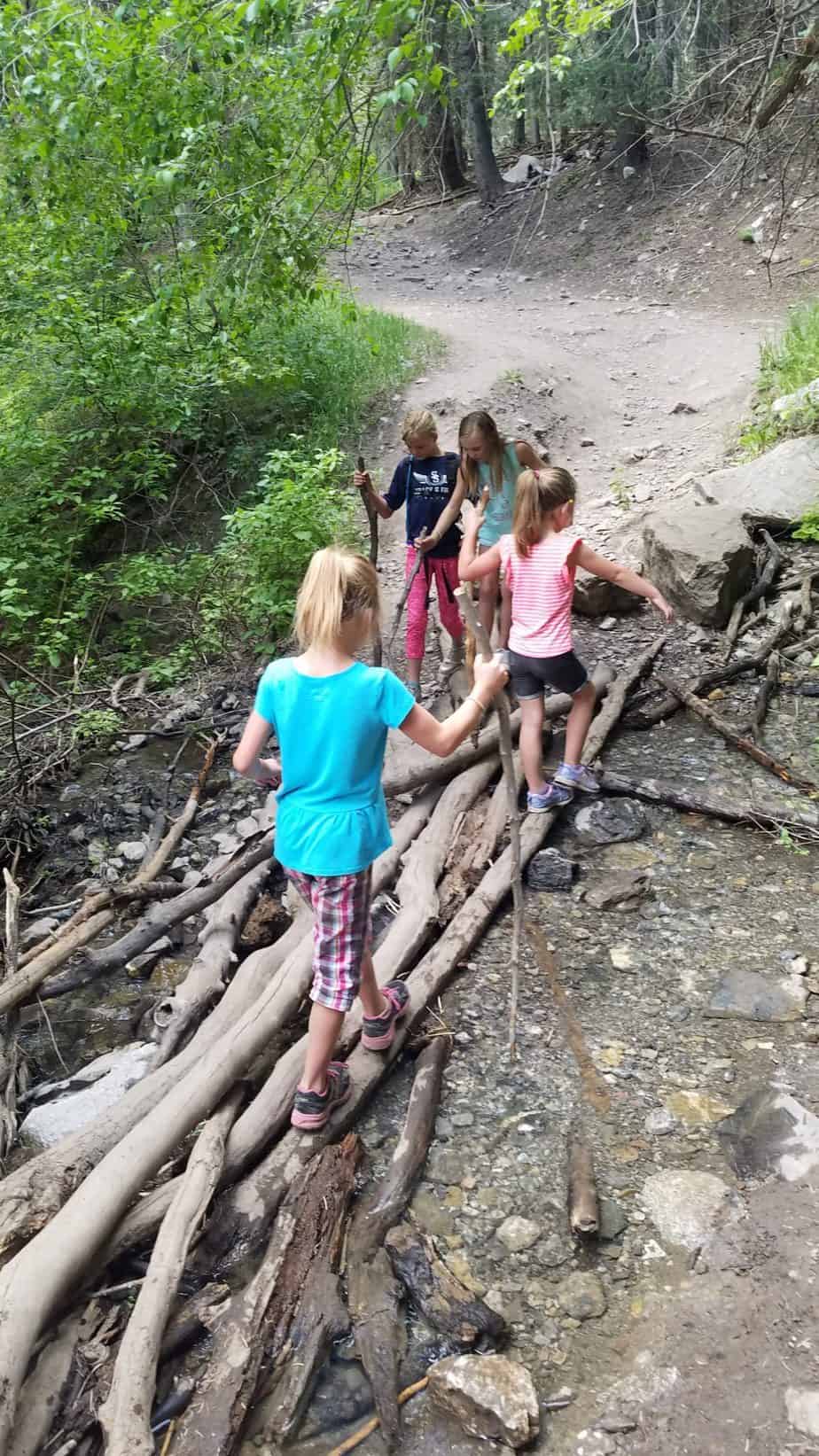
The terrain is very rocky with big and small rocks. There are a couple of small stream crossings which have logs and rocks placed so you don’t have to get wet if you don’t want to.

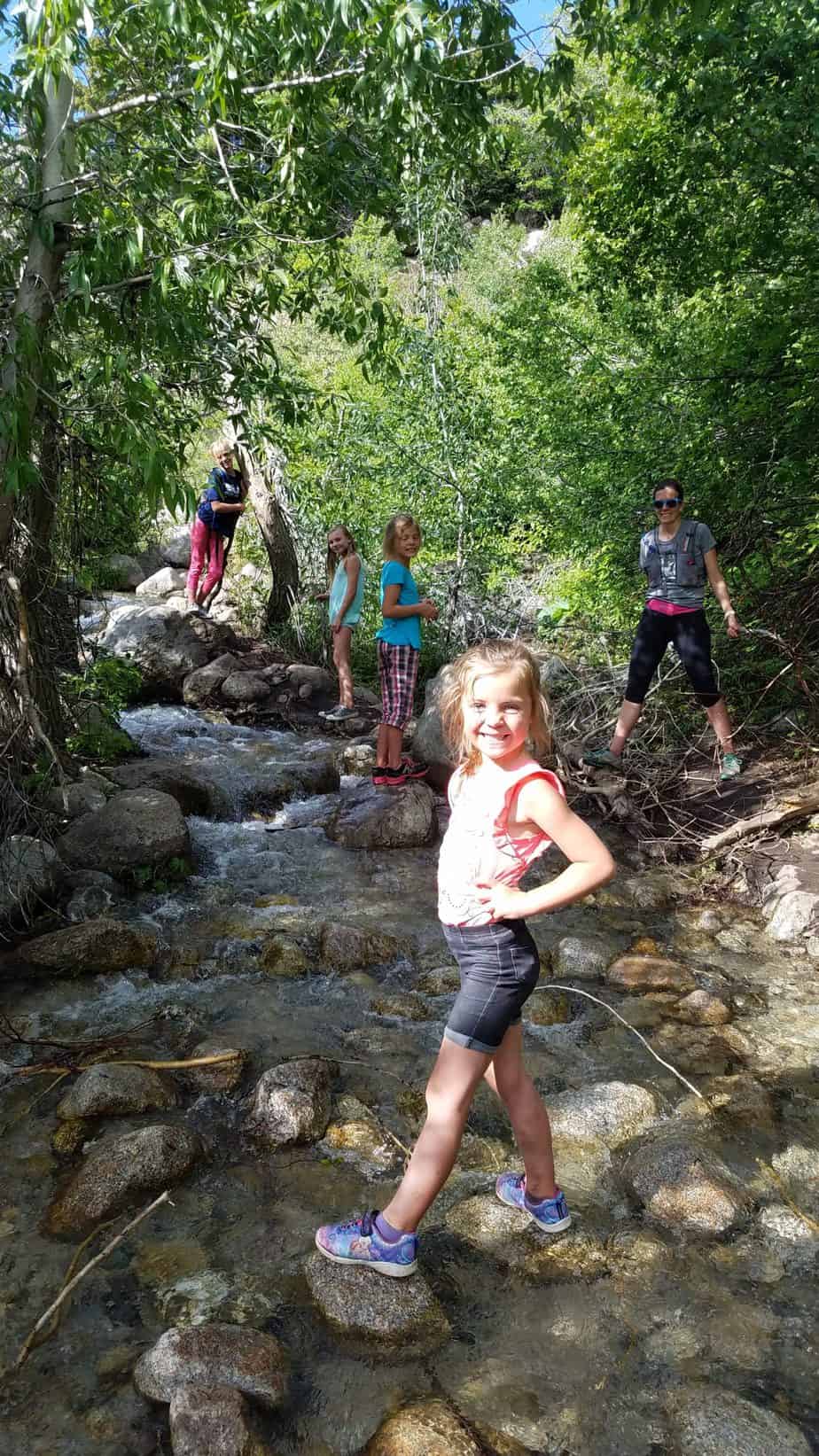
Dry Creek Canyon is for the majority of the time dry. However, due to the amount of spring rain when we did this hike, there was more than just a couple stream crossings.

There was actually water coming down on the trail for the last half mile on the way to the waterfall, making the trail a small stream. This is just what my kids needed to help them through the last bit of upward hiking. The kids loved walking through the water and getting wet.

One stream crossing was surprisingly stronger than it looked. So, as always, watch the kids and help them across these areas.

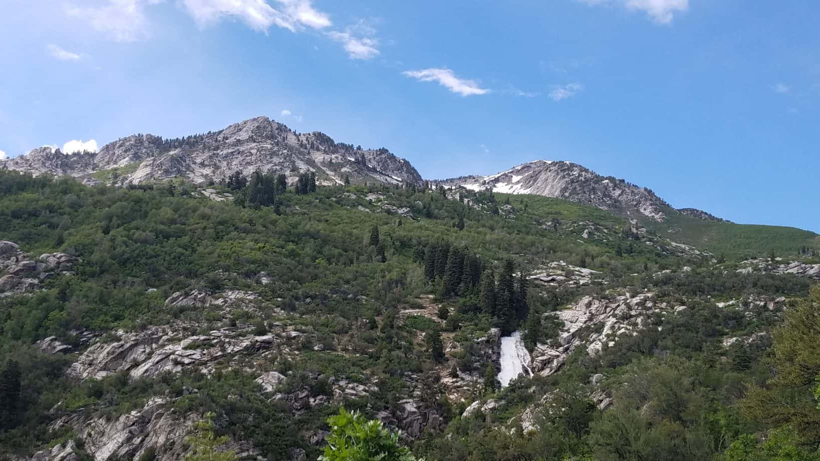
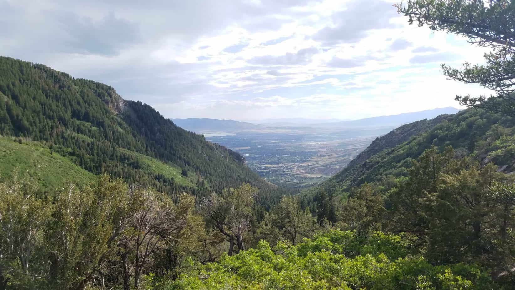
On the way up there are a few areas that overlook a view of the falls.

Horsetail Falls

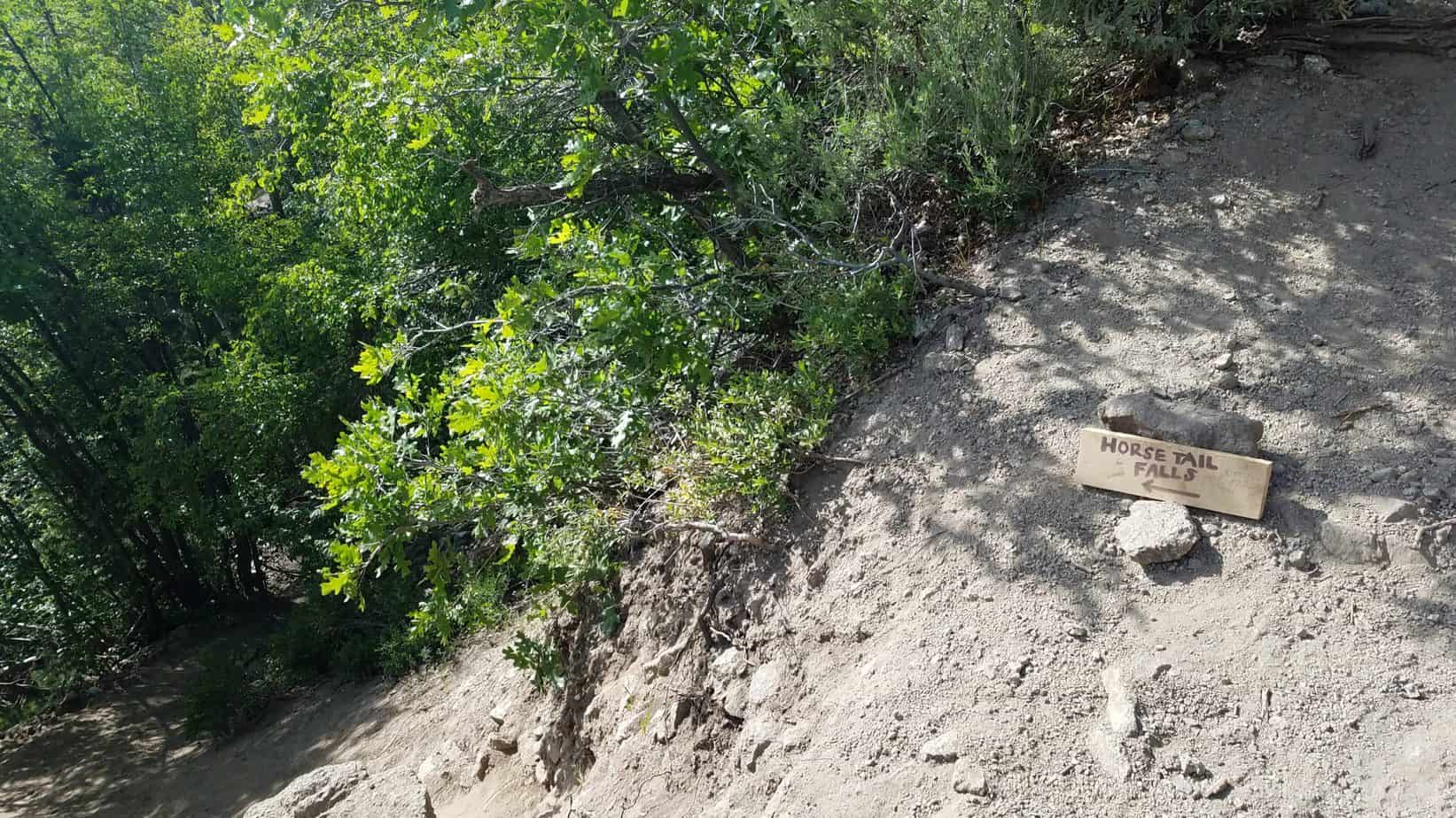
If you would like to get a close up view of the falls, I suggest continuing upward to a sign on the ground with an arrow pointing north that says horsetail falls.

The sign on the ground is near a point on the trail that shifts right. This leads to a narrower trail directly left of the main Dry Creek Trail. This narrower trail descends rapidly and there is a rope to the left to help let you down if needed. Continue on this trail for another quarter mile or so.

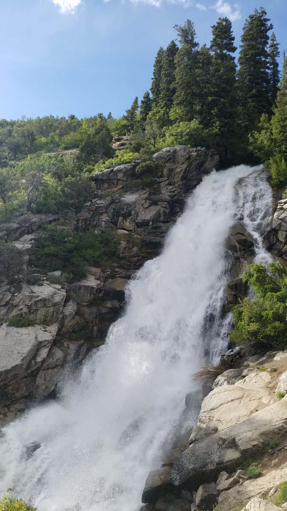
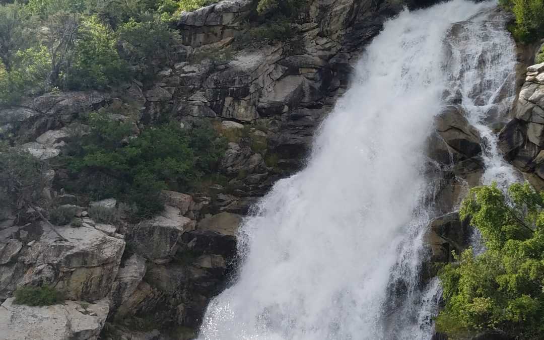
The waterfall comes up fairly quickly after turning off the main trail and is pretty awesome to see. The area near the waterfall is steep, so be cautious of your little ones getting there before you. You will likely be able to feel the mist of the falls as you get closer. Due to the heavy spring rain and runoff the waterfall was a lot bigger for us than I have seen in other pictures.

The views looking down from Horsetail Falls are beautiful. Everything was so green and lush with the wet spring.
To get back to the parking lot, just turn back and go the way you came.

Overall, the hike was not too difficult for our family. However, we are a hiking family. I would not recommend this hike to a family new to hiking. Try a few shorter easier hikes first.

PROS & CONS

PROS

  • Beautiful views
  • Gorgeous waterfall
  • Well shaded
  • Water for kids to play in

CONS

  • Steep incline for younger kids

DIRECTIONS

The trailhead is located at the end of Grove Drive in Alpine, Utah. To get to the Horsetail Falls trailhead put Deer Creek/Dry Creek/North Mountain Trail into your maps app. You can also use the search, Horsetail Falls Trail via Dry creek. This will lead you to a dirt parking lot at the end of Grove Drive in Alpine. You can also follow my map below.

MAPS


MORE INFO

All Trails

OTHER NEARBY ADVENTURES

Easier hikes in the area to try before Horsetail Falls:

Rocky Mouth Waterfall (45 minutes)

Alien Tower (30 minutes)

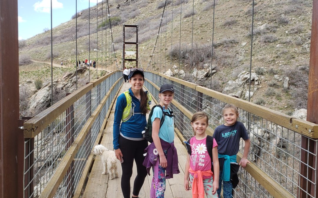
Draper Suspension Bridge (40 minutes)


ABOUT

Hi, I’m Corrine! I’m an outdoor enthusiast and mother of four.

My goal is to inspire you to get outside and create your own amazing memories as a family. Life is precious and there are too many adventures to be had to spend life on the couch or in front of a screen.

Hike the Y with Kids: Provo, Utah

Hike the Y with Kids: Provo, Utah

Hike the Y with Kids: Provo, Utah

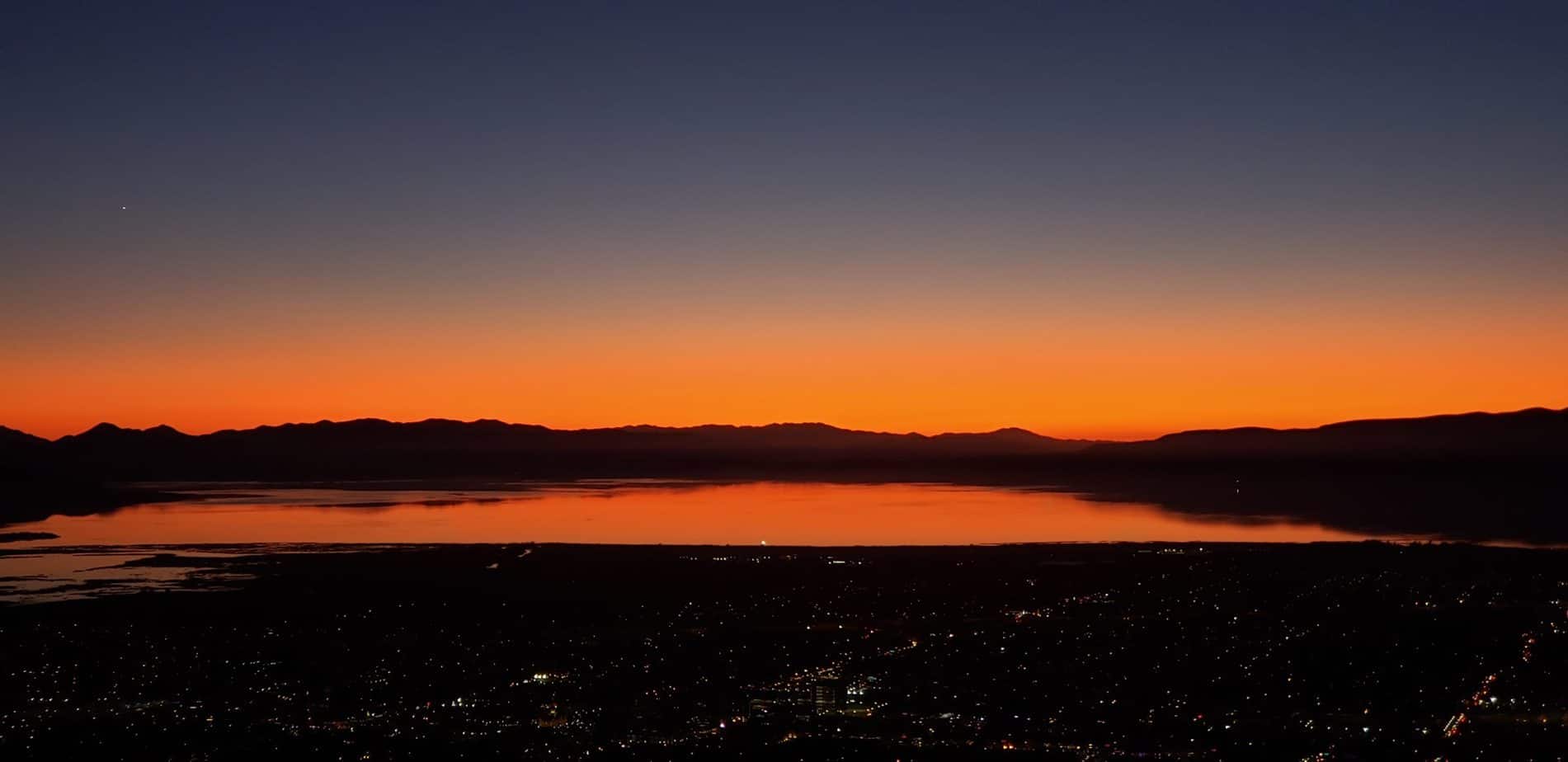
The Y hike in Provo, Utah is a Utah County classic hike that traverses the steep hillside to the iconic Y on the mountain. Hike the Y with kids, for is short and steep adventure with beautiful views of Utah County and Utah Lake. This family friendly hike can be a fun for kids and parents alike. 

KID RATINGS

Fun: ⭐⭐⭐ (out of 5)
Difficulty:     Very Easy    Easy    Moderate    HARD    Very Hard

KEY FEATURES

Hiking Distance: 2.2 miles round trip
Hiking Elevation Gain: 1100 ft
Terrain: Dirt, rocks, switchbacks, steep, exposed trail
Time Needed: 1.5 to 2 hours
When to Go: Spring, Summer (morning or evening), Fall. 

COST

Free

AMENITIES

  • Bathrooms at trailhead next to parking lot
  • Gas stations and grocery stores just a few miles away in Provo

THINGS TO BRING

  • Sunscreen, trail exposed
  • Water
  • Snacks
  • Hiking shoes with good traction
  • Dogs allowed

DETAILS

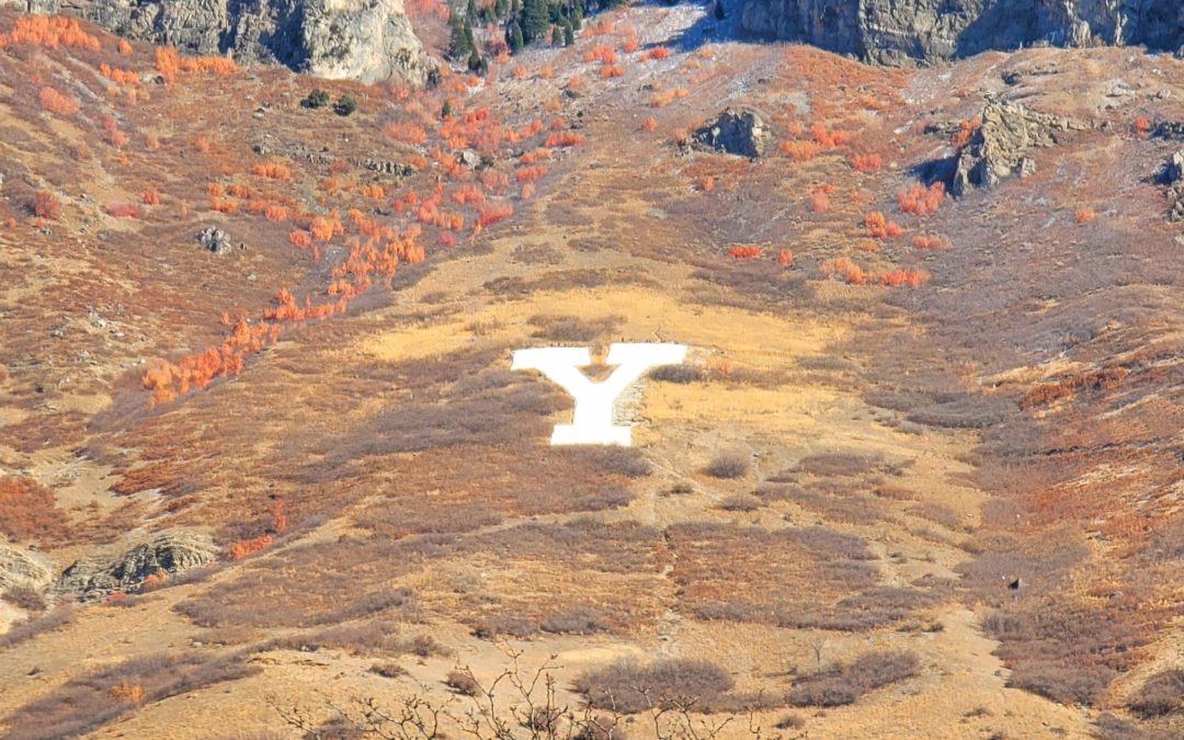
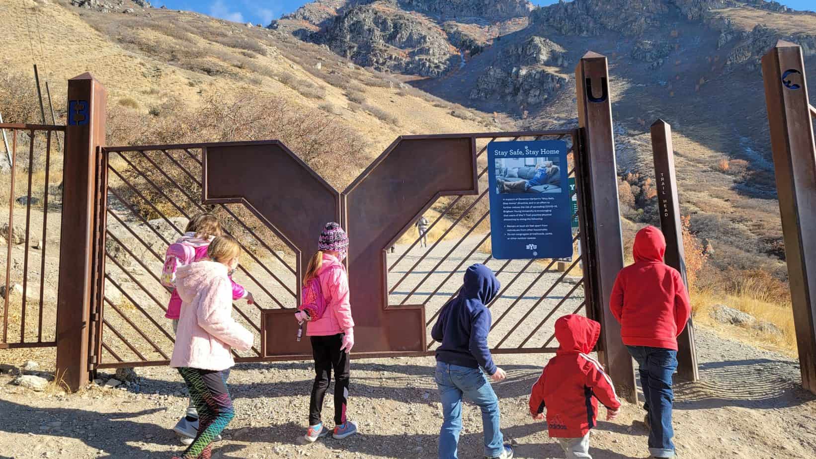
The Y on the mountain was originally built by Brigham Young University High School in 1907 and is made of rock, sand and cement. It is an iconic college symbol that is 380 ft tall and 130 ft wide which makes it bigger than the Hollywood letters in Los Angeles

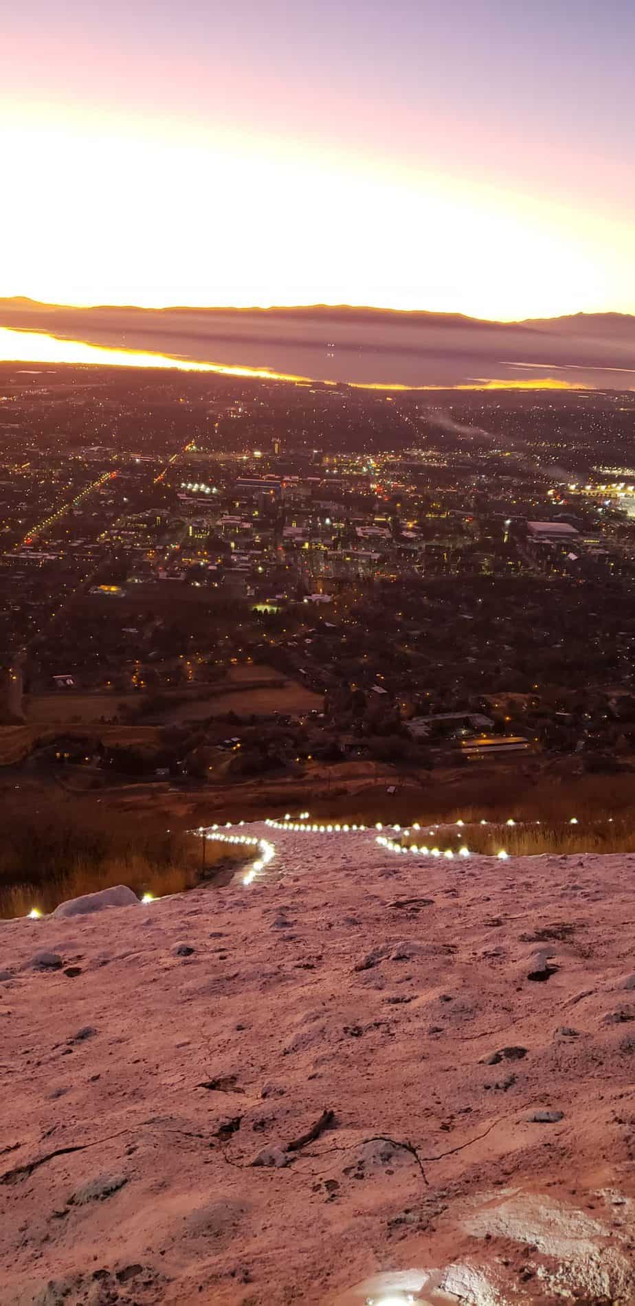
When a BYU athletic team wins a competition, the perimeter of the Y is lite up. We were lucky enough to hike the Y during a winning night.

The Hike the Y Trailhead begins on the mountainside east of Brigham Young University (BYU). There are three separate asphalt parking lots at the base of the hike. We hiked this in November just before sunset and there were plenty of parking spots. This is a popular hike so I imagine the parking is crowded during summer and early fall months when the leaves are changing.

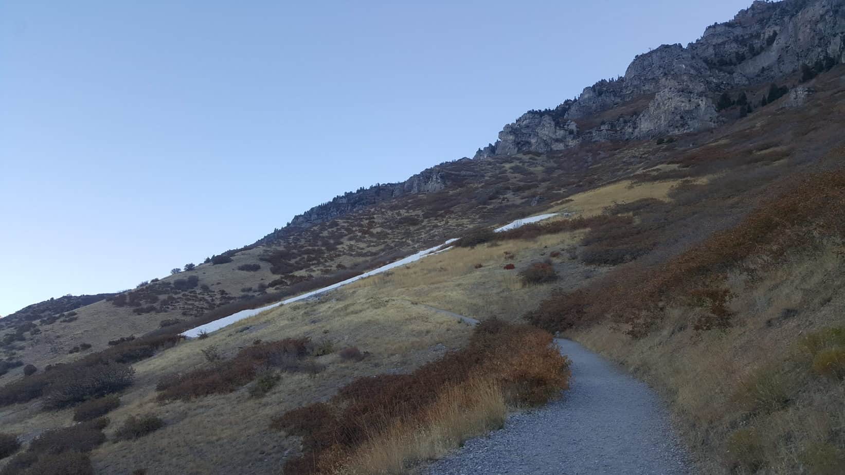
This hike gains just over 1000 feet in 1.1 miles! Steep! This is why I rated this hike as hard for kids. It took us just over an hour and a half to complete with a few stops to rest and a snack break at the top.

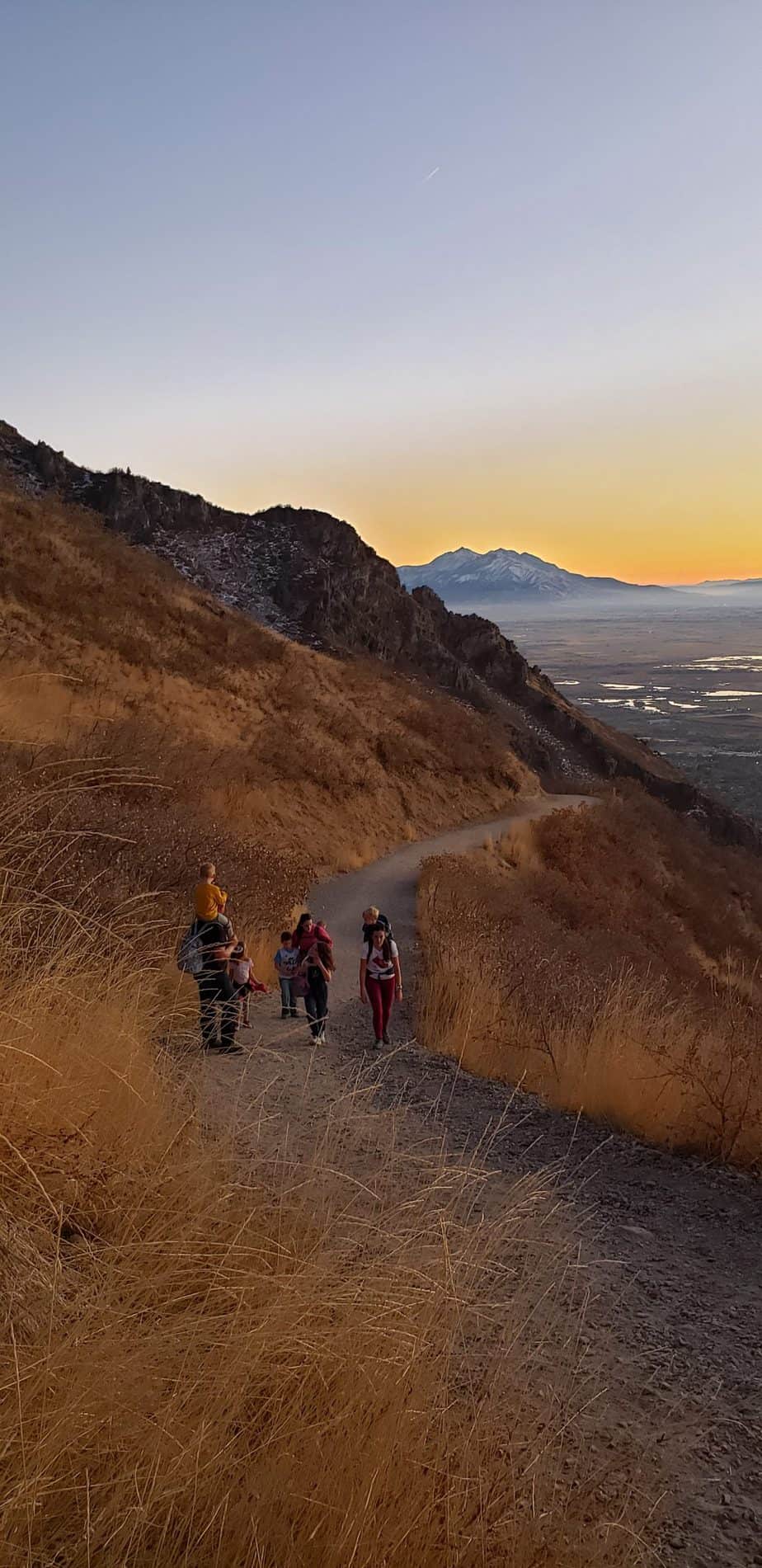
The majority of the hike is a series of switchbacks on a wide well marked trail with a total of 11 turns. There is a sign at each turn identifying which turn you are on in case you lose track.

There are also signs with fun facts about the local wildlife and habitat. My kids loved all the nature facts. We did find a live tarantula along the way.

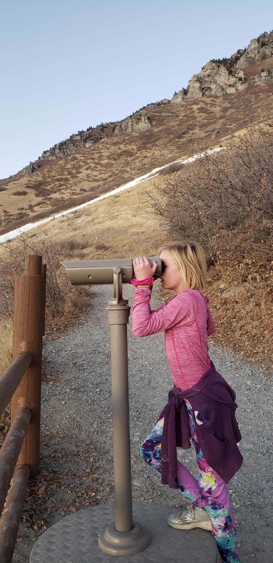
There are also binoculars to look down at the valley.
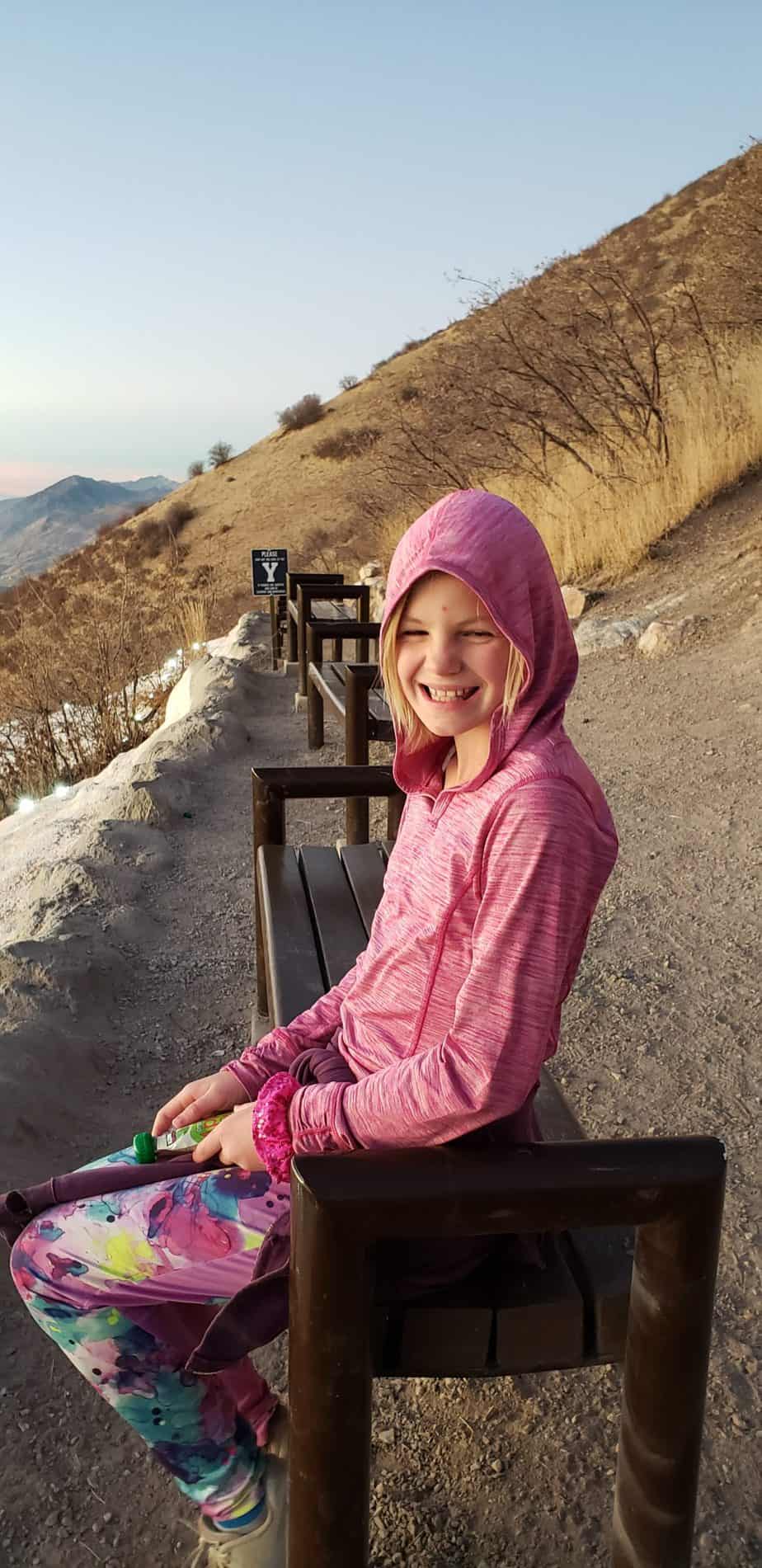
You will first arrive to the lower portion of Y. Continue upward to get to the top. There are benches at the top to sit on for snack and break time. There are trails that continue into the mountain beyond the Y if you want a longer hike.

 The kids did great on this hike. They loved running down the steep switchbacks on the way down. I think it helped a lot to have friends with us. The hike was steep but short so it was very doable. We had a beautiful sunset to watch as we hiked down.

Despite the steepness the hike was still enjoyable. It has gorgeous views and the kids loved getting close to the huge Y on the mountain side. If you want to hike the Y with kids, I suggest doing a few other smaller hikes first.

PROS & CONS

PROS

  • Beautiful views
  • Fun destination
  • Possibility for wildlife viewing

CONS

  • Hot in the summer months and trail is exposed
  • Steep!
  • Can become crowded

DIRECTIONS

The Y hike trailhead is located on the east bench of the mountains behind Brigham Young University. The address is Slide Canyon Trail 062, Provo, UT 84604 or you can search Y trailhead on your GPS device.

MAPS


MORE INFO

All Trails Hike the Y

History of Y Mountain

OTHER NEARBY ADVENTURES

Bridal Veil Falls (20 minutes)

Upper Falls (25 minutes)

Float the Provo River (20 minutes)

Stewart Falls (30 minutes)

Battlecreek Falls (30 minutes)

Utah Lake State Park (20 minutes)

ABOUT

Hi, I’m Corrine! I’m an outdoor enthusiast and mother of four.

My goal is to inspire you to get outside and create your own amazing memories as a family. Life is precious and there are too many adventures to be had to spend life on the couch or in front of a screen.

YOU MIGHT ALSO LIKE:


Draper Suspension Bridge Hike, Utah

Draper Suspension Bridge Hike, Utah

The Draper Suspension Bridge hike is a must for any family along the Wasatch Front in Utah. It offers gorgeous views of the Salt Lake Valley, as well as is a  fun destination to Draper’s newer suspension bridge that...
Horsetail Falls Hike with Kids: Alpine, Utah

Horsetail Falls Hike with Kids: Alpine, Utah

The Horsetail Falls hike takes you to a majestic waterfall with beautiful views of the Alpine and Highland areas below. This steep hike through beautiful scenery of the Lone Peak Wilderness and Uintah National...

Hike the Y with Kids: Provo, Utah

Hike the Y with Kids: Provo, Utah

The Y hike in Provo, Utah is a Utah County classic hike that traverses the steep hillside to the iconic Y on the mountain. Hike the Y with kids, for is short and steep adventure with beautiful views of Utah County...